Esta web utiliza cookies para que podamos ofrecerte la mejor experiencia de usuario posible. La información de las cookies se almacena en tu navegador y realiza funciones tales como reconocerte cuando vuelves a nuestra web o ayudar a nuestro equipo a comprender qué secciones de la web encuentras más interesantes y útiles.

Economic evaluation of the impact of the dana in Valencia on the public infrestructures
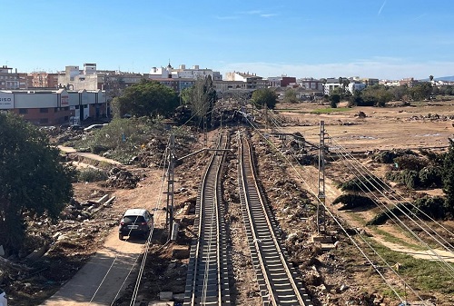
In this project, a combined analysis will be carried out of the georeferencing of all types of public infrastructure in the areas affected by the dana in Valencia, together with the land registry and the flood layers developed by the Institut Cartogràfic Valencià (ICV) and the Universitat de València. Based on these sources and the investment series and capital stock data made with a provincial level disaggregated, a more accurate estimate of the impact on public infrastructure in each of the areas affected by the flood of October 29, 2024, can be obtained. As a result of these analyses, a report will be produced. Additionally, this work will take into account existing international references for measuring capital losses resulting from extraordinary events.


