Esta web utiliza cookies para que podamos ofrecerte la mejor experiencia de usuario posible. La información de las cookies se almacena en tu navegador y realiza funciones tales como reconocerte cuando vuelves a nuestra web o ayudar a nuestro equipo a comprender qué secciones de la web encuentras más interesantes y útiles.
HIPGDAC-ES: historical population grid data compilation for Spain (1900–2021)
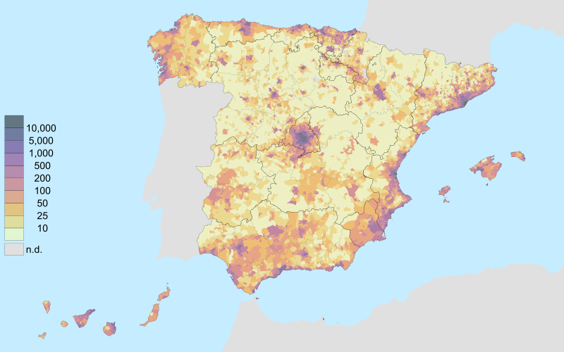
Historical population grids are scarce or rather non-existent. This work represents a first effort in this direction. Using historical cadastral data and homogeneous population data at municipal level, we generate, for the whole of Spain, population grids with 100 m × 100 m and 1 km × 1 km resolutions and all census years from 1900 to 2021. These grids are top-down. The methods used are like those employed in the generation of population grids for the entire globe in the last decades by combining satellite imagery with demographic information from censuses. Given the richness of cadastral information, and the possibility of going much further back in time than satellite information, we can generate much older population grids. Although far from perfect, these grids provide a better approximation to the spatial distribution of the population in those years than the simple consideration of the municipal population or the count in the settlements derived from the gazetteers associated with the censuses. The possibility of taking our estimates up to 2021, where we have a bottom-up population grid from the Spanish National Statistical Institute (INE) derived from the 2021 census allows us to validate our methods, albeit only for the most recent dates.
Goerlich, F. J. (2025). «HIPGDAC-ES: historical population grid data compilation for Spain (1900–2021)». Scientific Data 12: 280.


