News

The future of statistics will depend on geographically referenced data
More than 100 people interested in the integration of statistical and geographical data attended the Ivie and BBVA Foundation Seminar
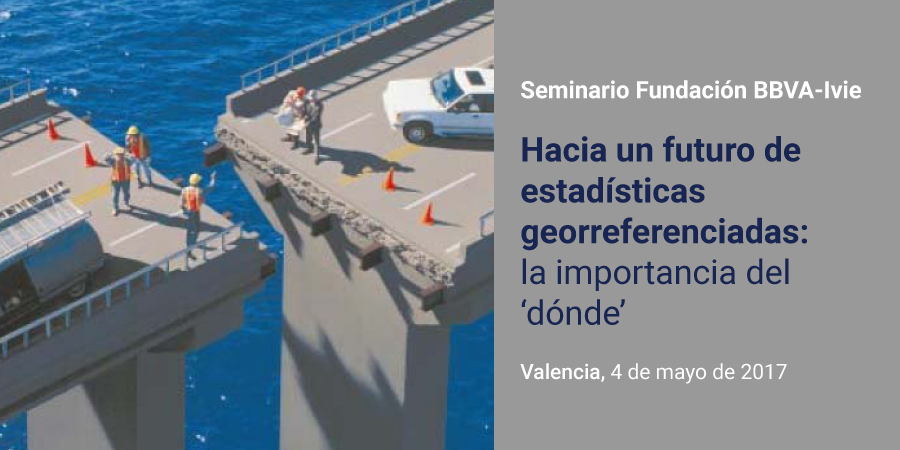
In the future, every statistic will include geographic coordinates, adding countless advantages to the management and use of information and easing, among other things, the risk analysis and decision making to provide public services or to build infrastructures. This is one of the main conclusions from the seminar Towards a geo-referenced statistical future: The power of ‘where’ (Hacia un futuro de estadísticas georreferenciadas: la importancia del ‘dónde’), organized by the Ivie and the BBVA Foundation on May 4th of 2017 in Valencia.
The Seminar brought together more than 100 people interested in the possibilities offered by the integration of statistical and geographical information. Today this topic is very relevant, especially after the approval of the European Union’s Directive on ‘Infrastructure for spatial information in Europe’ (INSPIRE), which requires full implementation by producers of statistical information to locate data geographically, setting strict protocols to ensure that the data is comparable and easily accessible among EU countries.
The seminar, developed by the Professor of the University of Valencia and Ivie Researcher, Francisco Goerlich, counted with the participation of experts on statistical and geographic information from institutions such as the Spanish Statistical Office (INE), Spanish National Geographic Institute (IGN) and the Directorate General of the Cadastre, as well as the academic world.
Ignacio Duque, responsible of spatial data infrastructure of the Subdirectorate General of Information and Communications Technology of INE, highlighted the social demand for innovative statistical data that needs to be addressed and the great potential that grid information systems offer. In his opinion, there has been a world-wide increase of geospatial information that adds value to statistics.
Also, Eduardo Núñez, head of the Subdirectorate General for Geodesy and Cartography of IGN, stressed the important impact of new technologies and automation in data obtaining and processing which has accelerated the way information is produced compared to manual data processing.
The significant work carried out by the Directorate General of the Cadastre was made clear at the Seminar, through its Deputy Director General of Studies and Information Systems, Ignacio García Rodríguez, who made reference to the more than 5,000 updates made daily to their databases. In addition, he commented that the Cadastre is studying new and more useful statistical models.
Diego Puga, Professor at CEMFI, presented one of his studies on wage disparities as an example of the possibilities of geo-referenced information and of the importance of ‘where’ in statistical data. According to his paper, individual earnings are higher in bigger cities and experience is more valuable when acquired in bigger cities.
Juan Carlos Duque, Professor of Economics at the University of EAFIT in Colombia and Director of RiSE Group (Research in Spatial Economics) , focused his presentation on other sources of information, beyond official statistics, available to less advanced economies with not enough resources to produce their own data. Specifically, he shared his experience in generating millions of data records by using images from websites such as Flickr, Street View, Open Street Maps or Google Maps, among others.
Finally, Luis Ángel Ruiz Fernández, Professor of the Department of Cartographic Engineering, Geodesy and Photogrammetry of the Polytechnic University of Valencia, analysed the evolution of remote sensing due to the exponential increase in the number of satellites. For example, in 2008, the average downloads of satellite images per day was only 53, but in 2013 that number increased to more than 5,700 downloads per day.
In conclusion, the Seminar put forth the importance of associating geographical information and statistics and its increasing significance in the future.

